It is midsummer, the perfect season for hiking and biking through the countryside.
How many of us can remember the days long ago when kids would take a cross-country hike by walking along railroad lines? We’d balance on the rails as though they were tightropes, or skip along on the ties – which were never the right distance apart for ordinary walking steps.
Of course, we strictly forbid kids to do that today because it is much too dangerous. Especially if you’re walking along with your attention focused on your cell phone, oblivious to what might be coming down the tracks. However, people can still enjoy the adventure of a hike along those old railway lines, minus the steel rails and the wooden ties.
The late 19th century and early 20th century was a golden age for railroads. Before the coming of the automobile and the airplane, the train was the best way to transport people and goods overland. Every small community wanted a branch rail line that connected it to the major lines, and thus to the world.
The villages and hamlets of rural Southern Ontario were no exception. By 1879 a branch of the Credit Valley Railway linked tiny Cataract to Elora, through which it was connected to urban centres like Toronto.
However, the arrival of the car and the transport truck took people and freight off the railroads and put them on highways. Rail traffic had fallen off considerably by the middle of the 20th century. Many rail lines were decommissioned. Steel tracks lay rusting along weedy railroads or were torn up for scrap metal.
While many people lamented the loss of the railroads – and continue to do so in this age of discontinued bus lines and the problems of climate change – there was one potential community benefit. In many places, rather than let the abandoned railway routes go to developers, municipalities transformed them into parkland and trails.
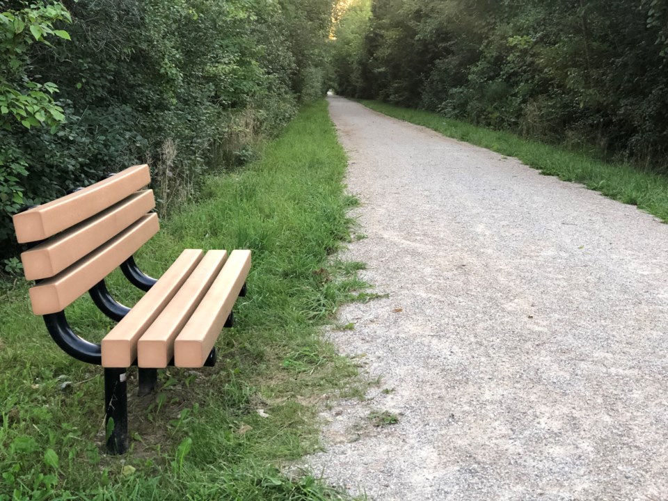
Guelph, for example, has several pedestrian and bicycle paths that were once railroad spur lines. The Elora-Cataract Trailway is something more.
In 1988, rails and ties were being removed from the de-commissioned line linking Elora and Cataract. A group of people in Elora and Fergus saw great possibilities in the old railway route. Why not transform the 47-kilometre (29-mile) line linking the Grand River and Credit River watersheds into a linear park that would serve the local population and attract tourists?
The Wellington Rails to Trails organization was formed in 1989. In addition to private citizens, it was supported by the Grand River Conservation Authority, Hike Ontario, the Guelph Trail Club, various service clubs and the Elora/Fergus medical profession.
The organization raised money by selling memberships for $5 for a family. Funding also came from the Ontario Ministry of the Environment through an Environmental Youth Corps program.
Rails to Trails spent over a year conferring with the councils of cities, towns and townships (Fergus, Elora, Orton, Belwood, Erin, Hillsburgh and Cataract), as well as with Wellington, Dufferin and Peel counties and the Ministry of Natural Resources to promote the idea of the Elora-Cataract Trailway.
The project initially was intended to include a second trail running from Elora to Guelph along another decommissioned Canadian National Railway line, but that part of the plan was rejected. Nonetheless, money from Guelph helped to purchase trailway land.
At the Rails to Trails annual general meeting in 1991, a committee was formed to raise public awareness and support for the project and arrange the purchase of the section of property between Elora and Fergus. There were numerous problems to solve. People who owned property adjacent to the proposed trailway had concerns about such things as noise, trash, vandalism, liability, privacy, and the effect on property values.
They had to be convinced the trailway would be clean, well-managed and effectively supervised.
The original plan had banned all motorized vehicles from the trailway, but modifications were made to allow responsible snowmobile organizations to use the part of the route between Fergus and Erin. Horseback riding would be permitted on the section between Fergus and Cataract.
After eight years of planning, organizing and hard work, an official opening celebration was held on May 26, 1996, at Hampton Barn in Belwood Lake Conservation Area.
There was still work to be done. Gates had to be erected at access points, and directional and regulation signage installed. Information kiosks would be installed at Elora, Fergus, Orton and Lake Belwood. The trail would be resurfaced with stone dust, and guard rails installed where necessary. There would also be parking lots,
bridges, safety features on the Shand Dam, and a new loop on the Elora-Fergus section.
In 1999, the Elora Cataract Trailway officially became part of the Trans Canada Trail System, linking up with the Caledon Trail at the village of Inglewood. For more than 30 years the trailway has taken local residents and visitors into some of the most beautiful the rolling countryside in Southern Ontario.
It is accessible all year, but is especially inviting during the warm days of summer.
Whether you are hiking or biking, remember that your journey is taking you down a line where the air was once filled with the rattle of steel wheels on rails and the blast of the locomotive’s whistle in the golden age of railroading.


