WEATHER ALERT
ENVIRONMENT CANADA
*************************
Freezing rain warning issued for:
Newmarket - Georgina - Northern York Region, Ont.
Vaughan - Richmond Hill - Markham, Ont.
Barrie - Orillia - Midland, Ont.
Waterloo - Wellington, Ont.
Innisfil - New Tecumseth - Angus, Ont.
Halton Hills - Milton, Ont.
Kitchener - Cambridge - Region of Waterloo, Ont.
Current details:
Freezing rain likely overnight and Saturday morning.
Hazards:
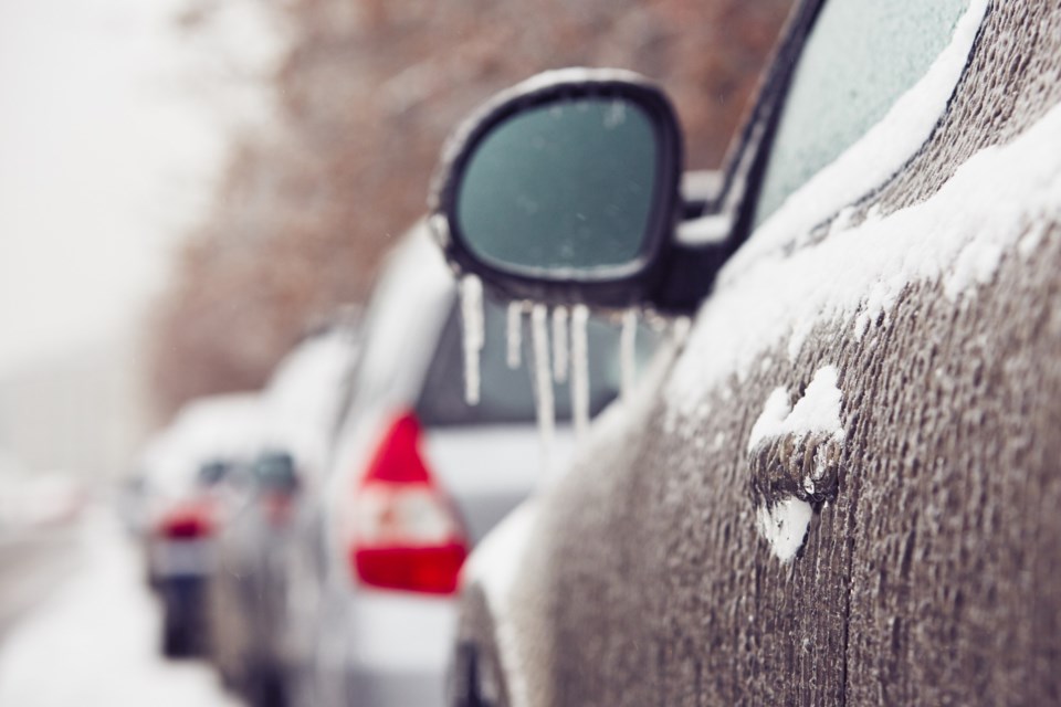
Freezing rain with up to 2 mm of ice accretion or build-up.
Icy and slippery conditions, particularly on untreated surfaces.
Timing:
Beginning overnight and ending by late Saturday morning.
Discussion:
Latest analysis suggests that a few hours of freezing rain are likely beginning overnight and persisting into Saturday morning. Freezing rain is expected to be light, which should limit ice build-up to 2 mm at most.
For areas close to Lake Ontario, the threat of freezing rain will be less as temperatures are expected to be just above the freezing mark.
Take extra care when walking or driving in affected areas. Slow down driving in slippery conditions. Watch for taillights ahead and maintain a safe following distance.
Please continue to monitor alerts and forecasts issued by Environment Canada. To report severe weather, send an email to [email protected] or tweet reports using #ONStorm.
More details on the alert are available here.
*************************


