WEATHER ALERTS
ENVIRONMENT CANADA
********************************
Weather advisory in effect for:
• Guelph - Erin - Southern Wellington County
• Kitchener - Cambridge - Region of Waterloo
Winter weather travel advisory in effect for Saturday into Sunday morning.
Hazards:
Sudden near zero visibility in heavy snow and blowing snow.
Snowfall accumulations near 10 cm over some locations.
Timing:
Beginning Saturday morning through to Sunday morning.
Discussion:
Scattered snow squalls are expected to develop in strong southwesterly winds early Saturday morning and continue through to Saturday night when winds become northwesterly. Snow squalls with these northwesterly winds will continue into Sunday morning.
These scattered snow squalls are expected to suddenly cause visibility to be reduced to near zero. Snowfall amounts near 10 cm are possible by the time snow squalls taper to flurries Sunday morning.
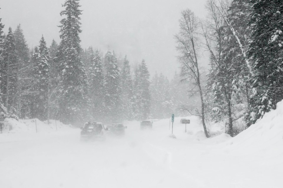
Travel is not recommended. Visibility will be suddenly reduced to near zero at times in heavy snow and blowing snow. Snow squalls cause weather conditions to vary considerably; changes from clear skies to heavy snow within just a few kilometres are common.
For road conditions and other traveller information from the Ministry of Transportation, visit Ontario 511, Twitter, or call 5-1-1
********************************
Snow squall watch in effect for:
• Mount Forest - Arthur - Northern Wellington County
Snow squalls are expected Saturday into Sunday morning.
Hazards:
Sudden near zero visibility in heavy snow and blowing snow.
Snowfall accumulations near 20 cm over some locations.
Timing:
Beginning early Saturday morning through to Sunday morning.
Discussion:
Scattered snow squalls are expected to develop in strong southwesterly winds early Saturday morning and continue through to Saturday night when winds become northwesterly. More widespread snow squalls with these northwesterly winds will continue into Sunday morning.
Strong gusty winds will lead to widespread blowing snow. Snowfall amounts near 20 cm are possible with the highest amounts falling Sunday. Non-essential travel is discouraged as visibility is expected to be suddenly reduced to near zero.
Snow squalls cause weather conditions to vary considerably; changes from clear skies to heavy snow within just a few kilometres are common. Visibility may be significantly and suddenly reduced to near zero. Road closures are possible.
********************************


