PUSLINCH ‒ A new report evaluating township roads has called into question what their primary purpose should be.
During a council meeting Wednesday morning, council discussed the township’s first Road Management Plan, along with the most appropriate ways to manage traffic and road maintenance while defining the criteria for service updates and future development.
Of the 179 km of roadway evaluated in Puslinch, approximately $27.1 million in resurfacing needs were identified across the paved road network.
But while she appreciated seeing the data laid out Coun. Sara Bailey didn’t feel that the report adequately defined the desired function of the township roads.
“No one has actually said out loud ‘This is not for liveability, this is not for recreation, this is just for the movement of cars,” said Bailey. “I’m anticipating having a lot of residents coming forward and saying I’d like to be able to walk down my township road.”
Riding his bike to the council meeting, Roger Will, is one of many residents who would like to cycle along local roads without feeling like they’re taking their lives into their hands.
“It’s become dangerous for me to back out of my driveway,” said Will. “It’s terrifying cycling around Puslinch because when you’re moving with the traffic, you don’t know what’s coming behind you and there’s no shoulders to pull off on.”
But the director of public works, parks and recreation, Mike Fowler said that he believes Puslinch roads are designed primarily for a commuter network, especially considering Puslinch’s central location.
“At least three times a week, the 401 is shut down for one reason or another and emergency routes are in place,” said Fowler. “With GPS and Google Maps, people’s phones indicate the shortest distance to their destination and unfortunately it runs straight through our rural infrastructure.”
He also noted that Puslinch’s road shoulders are too small for pedestrians and cyclists to safely navigate compared to other townships.
But Will feels that the small shoulders are obvious, considering many of the trees along those country roads are squared off from the bikes hitting branches trying to avoid traffic, and that a solution should be considered rather than the problem ignored.
“I now put my bike in a back of a truck and drive to a trail,” said Will. “As a retired firefighter, you know, if I can run into a burning building, you don’t think a car is going to scare me but I just don’t cycle those roads anymore.”
Generally abutting open or agricultural spaces with relatively high posted speed limits and infrequent entrances, the report found 92 per cent of roads in Puslinch are considered rural; with 71.5 per cent paved and 28.5 per cent gravel.
Of the gravel roads reviewed, several received failing grades including sections of Maltby Road and Gore Road.
However, while none of the gravel roads evaluated met the criteria to be repaved into a hard service road, Carter Road, Arkell Road (County Road 37) to Cooks Mill Road were among those suggested.
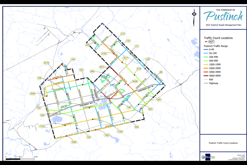
Collecting traffic counts at 28 locations across the township, the report noted that given the limited number of traffic count locations, and the age of historical counts, only an estimate of traffic count ranges could be assumed on the majority of the road segments.
Mayor James Seeley was not present at the meeting.
An updated report will return to council in September.
Isabel Buckmaster is the Local Journalism Initiative reporter for GuelphToday. LJI is a federally-funded program.


